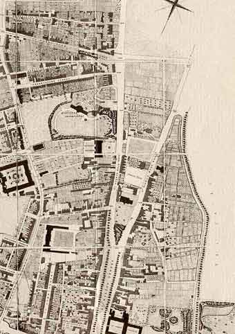
Robert Syer Hoggar Map of Oxford 1850. This map shows that the streets for largely working class housing, Observatory Street, Adelaide Street and Plantation Road, were developed by 1850.
Robert Syer Hoggar Map of Oxford 1850. This map shows that the streets for largely working class housing, Observatory Street, Adelaide Street and Plantation Road, were developed by 1850.
