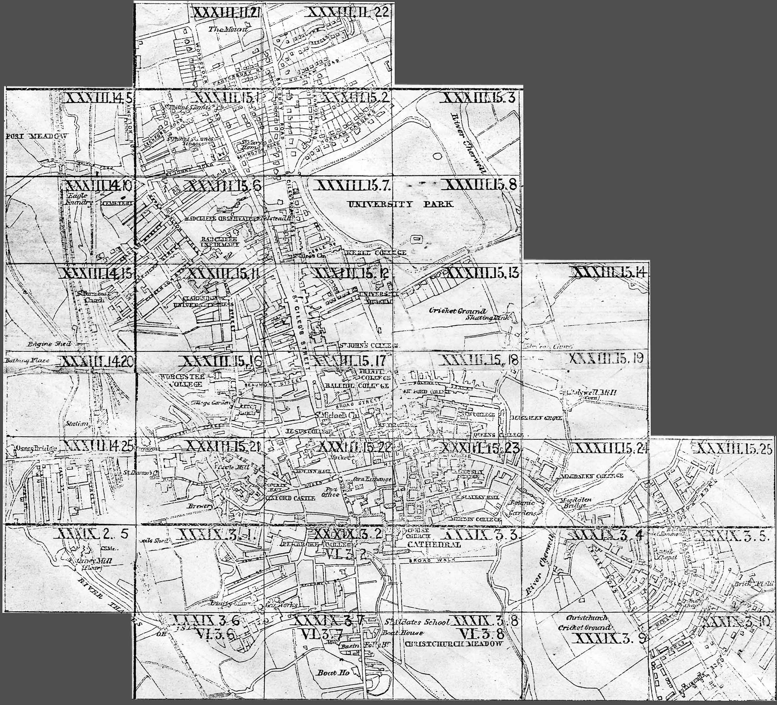
Ordnance Survey town plans of Oxford 1876
Highly detailed plans of the city, surveyed in 1876, at a scale of 1:500 or 10.56 feet to 1 mile
- Sheet-by-sheet presentation
- Picture Oxon reference COS:995.238.1-COS:995.238.37
Warning
These maps are best viewed on a desktop screen
How to view this map
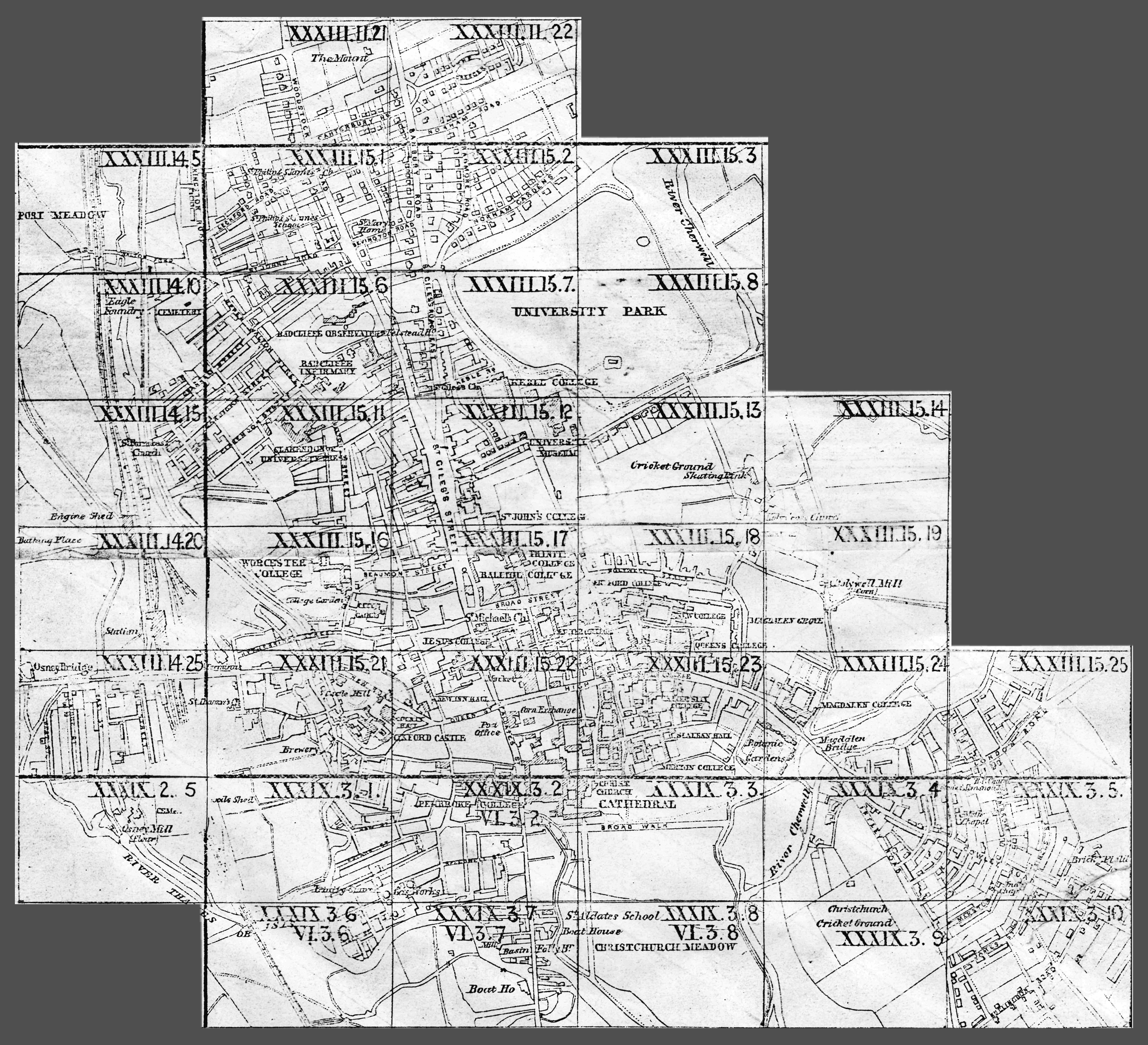
- Click on the interactive graphical index below to select an individual sheet and open it in Picture Oxon's zoomable viewer
- Once the map image opens in Picture Oxon, you can click on the 'Full screen' button to examine the map in full detail
- Click here to view a static hi-res image of the graphical index to the 1876 OS town plans of Oxford
Further information
- View our explanatory note on the Ordnance Survey 1:500 town plans of Oxford
- View National Library of Scotland guidance on the Ordnance Survey 1:500 town plans of England and Wales
- View an alternative seamless presentation of the 1:500 town plans, licensed by Promap-Landmark, on the ArcGIS platform. Accessible in Oxfordshire History Centre and Libraries only.