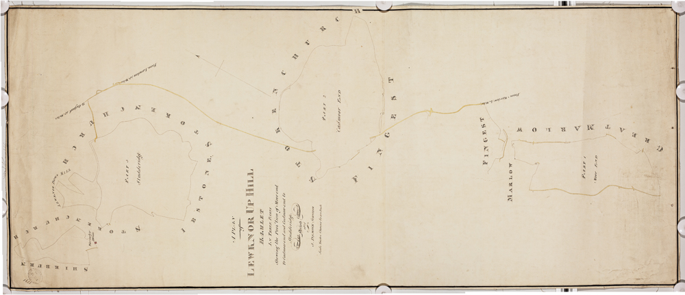
Lewknor Uphill index map, 1841
Digital content from Oxfordshire History Centre, and useful websites for local and family history research
The Lewknor Uphill tithe map is made up of the 2 parts shown below (document reference 252/M)
Lewknor Uphill index map, 1841
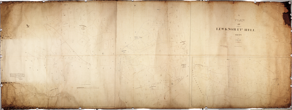
Lewknor Uphill tithe map, 1840